How to read coordinates, add your own maps, mark and measure, and keep your data safe.
1. Getting started
No account is needed. Open the app and move the map: the crosshair in the middle is your working point. Everything you add — pins, lines, areas — is placed at the crosshair.
Bottom bar:Pin · Draw · Search · Layers · More
Right side:SNAP (snap the crosshair to pins and vertices) · GRID · LAYERS · 3D · GPS · COMPASS · zoom
Long-press the map to drop a pin at that spot.
Change the app language with the globe button (top right).
2. Coordinates and the grid
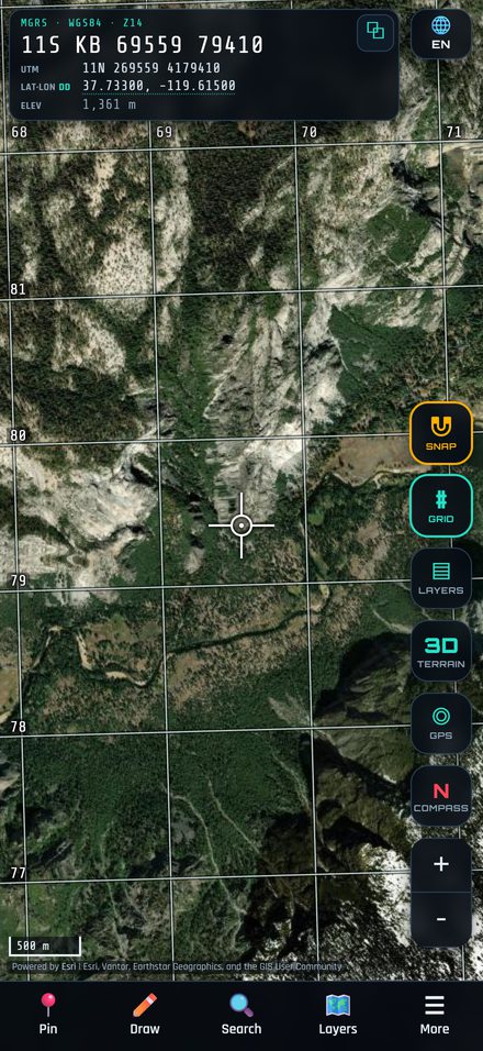
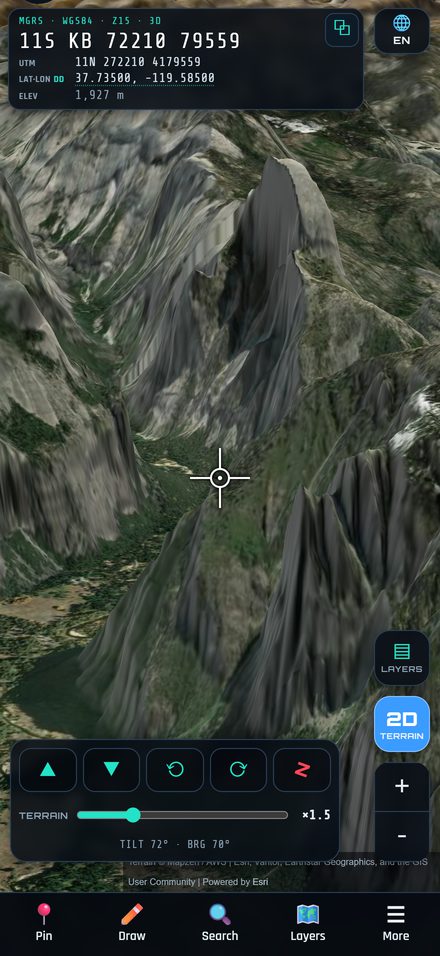
The card at the top shows the crosshair position in MGRS, UTM and Lat/Lon at the same time, plus elevation.
Tap the Lat/Lon line to switch between DD, DMS and DDM.
Tap the copy button to copy the coordinate.
GRID turns the MGRS / UTM grid on or off. Labels adapt to the zoom level.
Search accepts MGRS, UTM, Lat/Lon (any format) or the name of a saved item, and moves the map there.
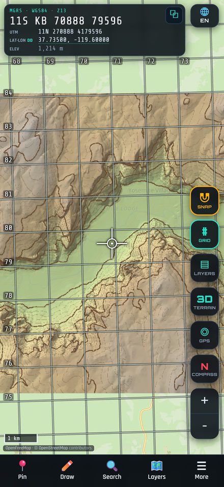
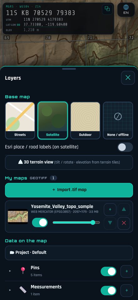
Supported: georeferenced GeoTIFF in WGS84 (EPSG:4326), UTM (EPSG:326xx / 327xx) or Web Mercator (EPSG:3857).
The map is placed automatically from the file's coordinates and stored on your device — it works with no signal.
Use the slider to change transparency, the arrows to change the order, and the switch to hide it.
DEM files also give elevation readings.
Free keeps one saved map (up to 100 MB). PRO keeps any number of maps with no size limit.
4. Pins, symbols and tactical graphics
Pin adds a pin at the crosshair and opens its sheet. There you can rename it, add a note, and choose:
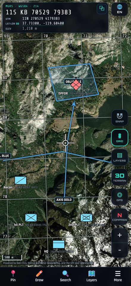
Military symbol (MIL-STD-2525 / APP-6 style): unit type, echelon, friendly / hostile / neutral / unknown.
Civilian icons, IPB icons or a plain colour pin.
Draw › Lines / Areas creates phase lines, boundaries, axes of advance, objectives, assembly areas and more. Move the crosshair to each point and tap + Add point, then save.
Tap any item on the map to edit, move, rotate, share or delete it.
5. Distance, bearing and tools
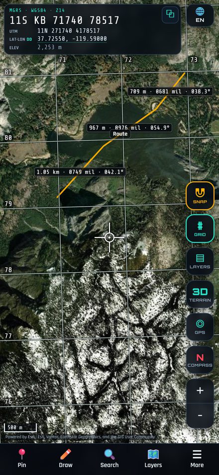
Draw › Measure › 📏 Distance / line or ⬠ Area. Every segment shows its length and bearing.
Angles: degrees, 6400 mils (NATO) or 6000 mils. Distance: metres or feet. Change them in any measuring sheet or in More › Settings.
SNAP pulls the crosshair onto nearby pins and vertices for exact points.
Tools tab: range rings, circles, bearing lines (polar) and sectors.
More › Elevation report lists the elevation of your pins and exports CSV.
6. 3D terrain
Tap 3D to see the terrain in 3D. Use the arrows to tilt, the rotate buttons to turn, the N button to face north, and the slider to exaggerate elevation (1–3×). Your pins, lines and areas are shown in 3D too. Tap 2D to return.
3D terrain loads elevation from the internet. Areas you have already viewed are cached and can be shown again offline.
7. Projects, import / export and backup
Layers lists base maps, your GeoTIFF maps and your data by group (pins, measurements, tactical graphics, GPS tracks). Switch groups on or off.
More › Projects: keep separate work (new, open, rename, duplicate, save as).
More › Import file: KML, KMZ, GPX, GeoJSON, GeoTIFF or a backup file.
More › Export KML: open your work in Google Earth or other GIS apps.
More › Record track, Compass, GPS button for your live position.
More › Backup saves everything (projects + GeoTIFF maps) to one .sakebak file. Keep a copy off the device; restore it on a new phone.
8. What works offline
Works with no signal
Needs internet
Coordinates and grid · imported GeoTIFF maps · your pins, lines, areas and projects · measuring and tools · GPS, track recording and compass · import / export / backup
Street map (OpenFreeMap) · Esri satellite and Outdoor maps · online elevation and 3D terrain (areas you have viewed are cached)
Before going to the field, import a GeoTIFF of your area so you always have a map.
9. Free and PRO
Free
PRO (monthly or yearly subscription)
Street map · MGRS + Lat/Lon DD · up to 5 pins / lines / areas · 1 saved GeoTIFF map (up to 100 MB) · colour pins and civilian icons · measuring · GPS · compass · 3D terrain
Esri satellite with labels and Esri Outdoor · UTM, DMS, DDM · unlimited items and saved GeoTIFF maps · military symbols, IPB and tactical graphics · range rings, sectors, bearing lines · projects · backup / restore · KML export · elevation report export
Subscriptions renew automatically and can be cancelled any time in your App Store / Google Play account settings. Use More › ⭐ PRO › Restore purchases after reinstalling or on a new device.
Privacy
All your data stays on your device. No account, no tracking, no cloud. Map tiles are requested from the map providers. See the Privacy Policy.
This app is a navigation and planning aid. Always verify positions with official maps and equipment.